|

The following maps are provided by the US EPA Chesapeake Bay Program Office.
The Chesapeake Bay watershed is a vast network of rivers and streams draining 64,000 square miles of land and pouring billions of gallons of fresh water into the Chesapeake Bay. This huge drainage basin is home to 15 million people and several thousand species of plants and animals.
How communities use their land and their water supply greatly affects not only the health of local streams, creeks and rivers, but also the Chesapeake Bay.
The following links to various maps show how significant a role towns throughout the watershed play of the health of the Bay.
To download copies of maps 1. and 2., go to the Chesapeake Bay Program
GIS web site at http://www.chesapeakebay.net/bayprogram/data/gis/gallery.htm
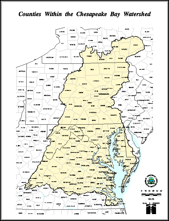
- Map of counties within the watershed.
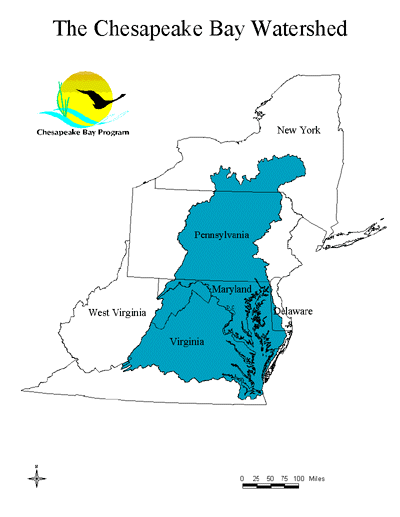
- Map of the watershed as it related
to the states it crosses
- Map
overlay program showing roads, streams, counties and other watershed
characteristics - program developed by the Chesapeake Bay
Program GIS team.
Home . Who We Are .
Funding Sources .
Local Governments .
Research & Publications .
Events .
Table of Contents .
Map .
Links .
Email
Center for Chesapeake Communities, 192 Duke of Gloucester Street
Annapolis, MD 21401 . (410) 267-8595 . Fax (410) 267-8597
Gary Allen, Executive Director
Site By New Village Media
Copyright � 2003-2011 Chesapeake Communities. All Rights Reserved
|